Looking for the Best Online IT Training course? Here is a list of the Top Online platforms offering Online IT Training courses.

This course is ideal for people not familiar with the Cryptocurrency world, who want to take their first step to learning about it today.
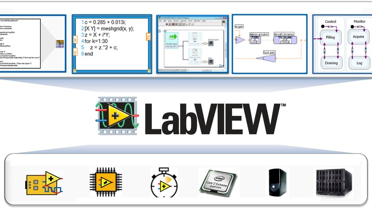
Bring your Arduino projects to life on your PC screen with LabVIEW's graphical system design.

Create a Fully Functional Professional Mobile App without Coding or Experience and in less than a day

A step-by-step course to help you build cool Android applications for Arduino, with no prior coding experience!

Discover the magic of Arduino and electronics. Elevate your DIY projects with a Digital Ohmmeter crafted by you!

Create Your Own Augmented reality (AR) Apps in No Time using Free Tools without Experience Explore this wonderful world.

How to "Multithread" an Arduino via Protothreading to execute more than one task at once without interruption

This course will take you in a step by step guide on how to make your own Arduino Social Distance Detector
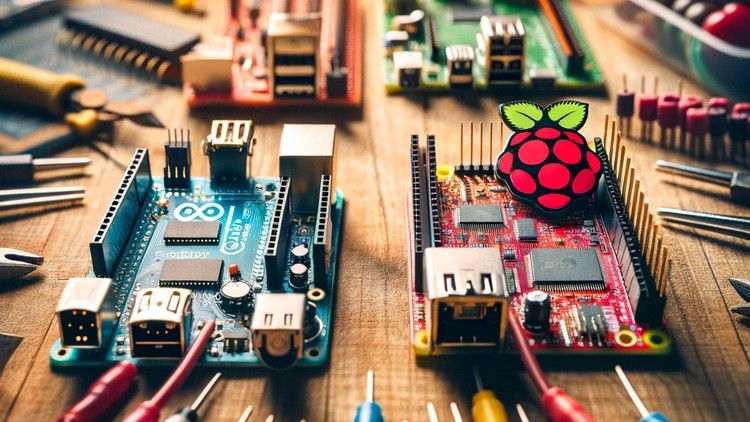
You will no longer wonder what board should you start with, or what board should you learn or use.

Step by Step Course to control stuff from all around the world with ESP32 and Databases
Coursetakers Online is your destination to upskill and learn with our self-paced pre-recorded video lessons from Top instructors worldwide. For instructors, it is a means to monetize their knowledge and efforts while reaching millions of students through Coursetakers Online.
© 2025 coursetakers.com All Rights Reserved. Terms and Conditions of use | Privacy Policy
